Skinny Townhouses

20180415_122429.jpg

I love this building. This is three storey walk-up with four units on a typical lot. Half a block long fronting the north-south street.  Typically on this lot arrangement would be one single detached house.  The building matches the style of heritage houses nearby With such great nearby parks and amenities maximizing unit size is the sensible design.

This is the type of “missing middle” development that could work in all neighbourhoods with little fuss.

20180415_122251.jpg


Dude where’s my sidewalk?

Today’s walk took me through the Burnaby side of Boundary Road. The cherry blossoms, rain, and daffodils all marked the full arrival of spring. What surprised me was the complete either lack or long gaps of sidewalks in the residential areas. The desire lines of people making it work show in the mud. The pervasive lack of sidewalks in 2018 is really astonishing given the nearby school and no sidewalks on either side of a connecting street. I walked for 15 minutes before finding a connecting sidewalk.

The nearby industrial transition area between the Vancouver and Burnaby residential areas had sidewalks(!) but with newer hydro poles in the middle. The location of these power poles is just awful. For several blocks uphill the let-downs and poles create such a strong deterrent to using the sidewalk, I would never expect anyone carrying or pushing anything to use the sidewalk, which begs the question: who decided the poles should go there?

Such a beautiful neighbourhood with hills and blind corners and no sidewalks. How many of the local children would be allowed to walk to school?


20180416_164342.jpg


20180416_164346.jpg20180416_164155.jpg

Gentle Density: Duplexes

The new Duplexes in Vancouver have the same massing and height as many of the single detached housing all around them. Unlike the 4-6 storey mid-rise infill projects, these developments have not attracted the usually NIMBY crowd. They raise the question regarding the aesthetic of density: Is it density or the street expression of the density?

The rally against “monster homes” 25 years ago wasn’t about density or height, but rather the aesthetic of housing and the rate of change of neighbourhoods with a strongly English aesthetic. The current fight is against height and the proxy argument for density: parking woes.

So the question remains whether NIMBYism is rooted in anti-change or protection of an aesthetic.

These duplexes incorporate many of the faux heritage treatments the same crowd are defending for single family. If this is the path of least resistance, why not allow them in all RS zones.

20180317_123034.jpg

20180317_123102.jpg

Functional Art

These benches are fantastic. They provide a place to sit down off the main bustle and noise of the nearby street. They are fun nest-like design with wood seats. Kids were playing on them after I took the picture. More of these public spaces would be a great addition to the City.

20180311_132057.jpg

Walk this way

With many changes over the last year this my first post in ages. I love to walk the City without a destination in mind. On this excursion, I found a new sidewalk that works with the trees instead of forcing the straight edge. The City owns the right of way to the fence making this possible. This should be standard practice instead of the exception.

20180325_134730.jpg

Skytrain to UBC

20161203_133746

I have heard a lot of misunderstanding about the decision to terminate the skytrain extension from VCC-Clark at Arbutus. This decision was based on many years of study but can be boiled down to:

  1. The Broadway corridor is the second largest employment area in the province, but tapers off significantly west of Arbutus
  2. The housing densities west of Arbutus do not justify subway service.
  3. Balancing the needs of the rest of the region is a political tight rope  between upgrading existing service and expanding the network south of the Fraser River. The subway could serve as a direct connection to UBC or service the main corridor only. They chose to compromise and choose the later.

This does not make this a good decision, only one made during  anti-urban provincial government and financial uncertainty. This is also a dated decision. Much has changed:

  1. 10 years ago preparing for the Olympics was the focus of all infrastructure projects. The fight over the Canada Line and the deferment of the Evergreen Line preoccupied all the planners and politicians. Despite the issue of capacity and development at UBC accelerating, no strategic visions for the corridor was undertaken. When federal money was promised by the federal liberals, the old plans and studies were dusted off.
  2. The original studies in the 1990s did not anticipate the success of the U-Pass and the B-Line and recommended the west terminus to be at Arbutus. The amount of people taking transit past Arbutus has increased substantially during the off and on again planning for this corridor.
  3. The more recent studies focused on technology and showed routing to UBC, but still built in the option to stop at Arbutus. This in turn gave the policy makers a compromise option, which they took.
  4. UBC identified in the 1990s that a long-term solution for transit would be needed to address future growth in student and campus population.
  5. More recently, the Musquem have released a plan and currently are developing more housing on the eastern borders of campus.
  6. And then last year the out of the blue Jericho Lands sale of federal and provincial properties to local First Nations. The planned development of this site may take a decade to start, but the long-term impact is a massive increase of housing not anticipated in any transportation plan. The conservative estimates would put a huge increase of traffic on the westside without a stronger direct transit service. (The #4 is already full during the commute.)

I am optimistic that the line will go to UBC eventually just as the original Expo Line was built in stages. However this is a great opportunity to catch up service in the east of the corridor and have the service in place before the massive develop in the west. I would suggest:

  1. UBC and the Local First Nations come together and offer to pay for stations at Jericho, East UBC, and Central UBC. They can offset the cost with a transit levy or development just as YVR did.
  2. The senior levels of government fund the tunnelling. The Federal government has an obligation to provide the same services to First Nations as the rest of the population. First Nations rarely receive transit in any form. This would be a great opportunity. If the Province is serious about supporting students, ending the sardine service would not only provide better service, but would free up more buses to be redeployed.

The downside of not extending the line will be traffic in the westside of the City and the bottleneck at Arbutus for the bus transfers. I do agree the subway will make a huge difference but ending at Arbutus will appear short-sighted to all once in service.


View Corridors

I am dismayed by hearing the latest salvo against the City of Vancouver’s view corridors. Yes, view corridors provide an artificial obstacle to development and design of towers downtown. However, they provide design focus to work with often forcing the architect to use animated designs of twisting and cantilevered conceptions. Stifle the creative process? No, the restriction resides with the creativity of the design team. And, we should ask for no less. Why should we settle for the Vancouver version of the same tower in NYC or Toronto? What really does the super-tall add to Vancouver other than each subsequent tower reaching higher. Vancouver has a unique Goldilocks massing of “not-to-tall”, “not-to-small” on podiums that have formed the streetscape fabric of the downtown core.  We have wonderful developments that owe their form to the view corridors. I question the timing of the criticism to the lack of easy sites left in the downtown core.


Local Road Diets or Local Attitude Diets

Vancouver is a built out city with a policy to not expand road capacity. Downtown this policy in conjunction with the high cost of parking and the increased provision of good alternative such as transit and cycling has caused dramatic changes overtime. Together these policies have helped reduce commuter traffic to downtown to traffic levels comparable to the 1960s.

The City is looking to build on this success. By the end of this year, the City will decide on future of the viaducts, monuments to the failed freeway program. Despite the success in reducing car traffic, the gnashing of teeth and outcry of a “war on cars” continues.

Is this really “a war on cars”? Or, is this a growing realization that we can do many things with our public space. Maybe not as much of it needs to be dedicated to car traffic and parking.

The car is an expensive luxury that has been ingrained into our culture and cities as integral. As this assumption is increasingly challenged, those beholden to their cars and by extension, their way of life, feel threatened. The outrage over a small road closure for the Point Grey Bicycle route is very revealing.The new bicycle route is successful and the traffic snarl has not appeared. Will the outrage continue? Of course. People are invested in their outrage. When the City announces changes to the viaducts, outrage will ensue.

The fact remains we need better infrastructure for cycling and walking and that will come at the cost of some car infrastructure. So why isn’t the change broadly accepted? It is difficult to convince people to remove or restrict a lane of traffic when they perceive a city full of cars that need as much space as possible to get anywhere. However, part of the problem with car infrastructure is what economist call “a tragedy of the commons”. Because there is no cost tied to the use of the streets, people who have purchased a car will not only try and maximize their investment, but also are incentivized to use the streets for driving.

The popularity of free use of streets creates a political focus. With the expectation of access to the streets, and the provision of ubiquitous driving infrastructure, a political imperative around car infrastructure exists where pot-holes and parking are often more contentious than poverty or housing. Despite property taxes funding the maintenance of streets, the cost of providing these services is not adequately gauged. So how much do we need?

Everyone would agree to maintain enough of the road network to maintain commerce and emergency vehicles, but after that it is not clear. With the City’s policy to limit road expansion, reduction is the only option. There is clarity around reducing capacity in tandem with improvements to other modes. It is important to note, even without the other improvements, these road diets cause traffic to slow to safe speeds, people to change their routes, and some traffic evaporates. Traffic disappearing is well documented and should not be a surprise as there is one cost to using untolled roads: time.

Large changes can be disruptive initially causing long delays for drivers. However, drivers adjust their habits in estimating when to take trips, what route to take, and most importantly, do they need to drive to make the trip. The disruption for the City’s sewer-storm water separation project is an excellent opportunity to gauge large road disruption to traffic as comparable to road diets although temporary.

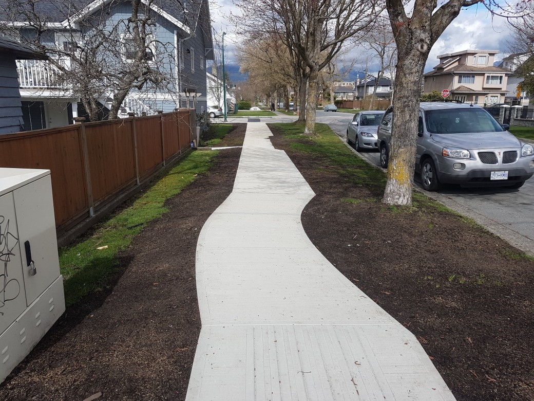
The project is currently digging up Hemlock Street, a four lane street with two-lanes in the evening with parking. Many locals expected terrible morning traffic, when the street was closed or reduced to one lane. They weren’t wrong initially. The first morning traffic was reduced to one lane, traffic barely moved. The next day the traffic was slow, but moving at near or just below the speed limit. The third day, the entire road was closed, and traffic on the nearby Granville Street was horrible. Then on the fourth day (and everyday the project continued), traffic on both Granville and Hemlock have been moving steadily. Meanwhile, the foot traffic on Hemlock has increased. People have put chairs out on the sunny days after the workers have gone home.

Even with parking, there is surplus road space. Why do we need to create a fast moving feeder lane through a neighbourhood when that space could be used for many other uses? It is a pity the City will return the street to four lanes for rush hour and 2 lanes for evening. This is a wonderful opportunity to create a linear park to the bridge that facilitates walking and cycling downtown and in the neighbourhood. But, it won’t happen. Why? Because the City has already budgeted resurfacing and the traffic engineers have designated the road as important.

Important for what? The question remains is our priority to move cars or people? And, should reducing congestion be such a high priority?

Note: It was interesting to observe that when the 12th and Hemlock  intersection was closed, traffic diverted with no issue. More surplus?